

Quick answer
A tahiti snorkeling map shows that the island's barrier reef creates distinct snorkeling zones: shallow coral gardens along the west coast near Punaauia, deeper channels at Taapuna Pass, and protected bays around Matavai. All public lagoon areas are accessible year-round without entrance fees. Water clarity peaks between 09:00 and 12:00, when sunlight penetrates the reef structure and visibility reaches 20 to 30 meters.
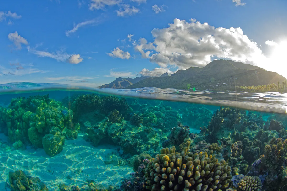
The Society Islands' barrier reef system transforms Tahiti's coastline into a mosaic of snorkeling environments, each shaped by bathymetry and exposure to open ocean swells. The western shore between Faa'a and Punaauia harbors the most accessible coral gardens, where the reef crest lies 200 to 500 meters offshore and the lagoon floor slopes gradually from one to four meters deep. Snorkelers enter from black-sand beaches or concrete boat ramps, swimming perpendicular to shore until the scattered coral heads consolidate into continuous reef structure. A tahiti snorkeling map must account for pass systems—the deep channels cutting through the barrier reef that funnel nutrient-rich ocean water into the lagoon twice daily with tidal exchange. Taapuna Pass on the northwest coast and Papeete Harbor's outer channel create predictable current corridors where pelagic species congregate during incoming tides. These zones require stronger swimming ability and surface quickly if caught in outflow, but they concentrate the lagoon's largest schools of jacks, barracuda, and occasional reef sharks. The northeast coast from Mahina to Papenoo offers sheltered bays where freshwater streams meet saltwater, creating brackish transition zones with distinct marine communities. Matavai Bay, historically significant as Captain Cook's anchorage, now serves recreational snorkelers with calm conditions and consistent fish populations around the bay's southern point. The reef flats here sit less than two meters deep at low tide, exposing table corals and sea urchin colonies that require careful fin placement. Orientation depends on landmark recognition rather than GPS coordinates, since most entry points lack formal names or signage. Local references use geographic features: the blue church at PK 7, the airport fence line, the black rock outcrop at Arahoho. Snorkeling guide services mark prime sites with moored floats during high season, but independent exploration requires studying satellite imagery to distinguish reef structure from sand channels before entering the water. The lagoon's accessibility—free entry, no permits, 24-hour public access—means navigation responsibility falls entirely to the individual.
“The barrier reef transforms Tahiti's coastline into a mosaic of snorkeling environments, each shaped by bathymetry and exposure to open ocean swells.”
Optimal Hours for Your Tahiti Snorkeling Map Visit
The best arrival window is 09:00–12:00, when the sun's position maximizes light penetration and water clarity for your Tahiti snorkeling map. Following this timeframe ensures visibility remains consistent as you navigate the lagoon's features.
May to October
ModerateDry season, 24°C–28°C
Lower humidity and steady trade winds minimize surface chop during these months.
November to April
HighHumid season, 26°C–30°C
Expect higher humidity and occasional rain showers that may reduce visibility.
Weekday mornings
Low—
Fewer visitors on the water allows for easier navigation of identified snorkeling zones.
Verdict: The optimal time to utilize your Tahiti snorkeling map is between 09:00–12:00 during the dry season months of May through October.
Operating Schedule for the Tahiti Snorkeling Map Area
The public lagoon areas identified on the Tahiti snorkeling map are accessible 24 hours a day. Visitors may enter these natural environments at their convenience throughout the week.
| Monday | 00:00–23:59 | |
|---|---|---|
| Tuesday | 00:00–23:59 | |
| Wednesday | 00:00–23:59 | |
| Thursday | 00:00–23:59 | |
| Friday | 00:00–23:59 | |
| Saturday | 00:00–23:59 | |
| Sunday | 00:00–23:59 |
Key Zones to Identify on Your Tahiti Snorkeling Map
Navigating the Tahiti Lagoon requires identifying specific reef structures and protected zones to maximize your underwater observations. Use your map to locate these distinct sectors where marine biodiversity is most concentrated.
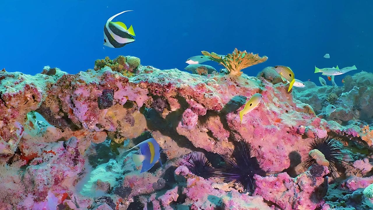
Paea Coral Gardens
A shallow zone featuring extensive hard coral formations and frequent butterflyfish sightings. The calm currents here allow for detailed observation of reef-building species.
Swim parallel to the reef crest for consistent coral density.
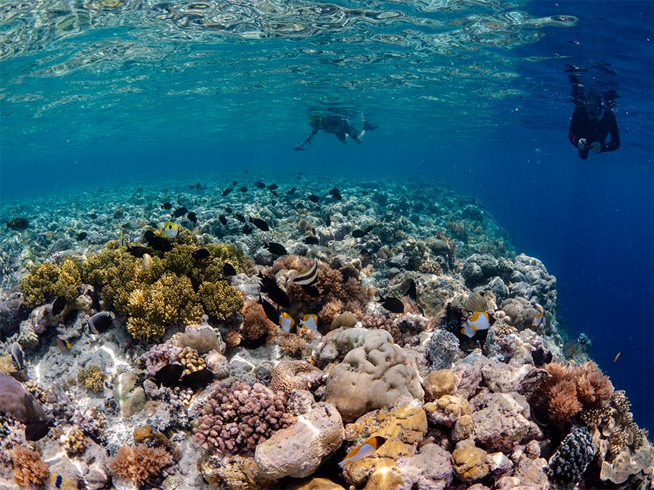
Papara Reef Slope
A site characterized by a steep drop-off where the lagoon floor transitions to deeper ocean waters. This area often hosts larger pelagic species and schools of jacks.
Look into the deeper blue to spot transient larger fish.
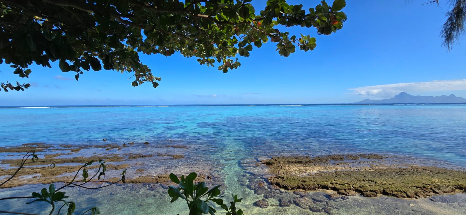
Punaauia Lagoon
A sheltered area known for its sandy bottom and patch reefs that provide refuge for juvenile rays. This sector is suited for observing smaller lagoon-dwelling marine life.
Check near the sandy patches for resting stingrays.
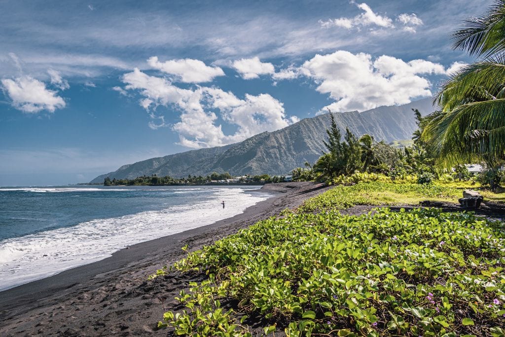
Taharuu Beach Break
Located near the mouth of the Taharuu River, this area offers unique brackish water conditions. The mixture of freshwater and saltwater creates a distinct habitat for specific hardy aquatic plants and fish.
Stay within the marked safety zone near the beach.
Essential Gear Checklist for Your Tahiti Snorkeling Map Route
Prepare the right equipment and perform safety checks before navigating snorkeling sites with your map.
-
Pack a waterproof map case — Protects your route guide from water damage and keeps it readable underwater.
-
Bring your own mask and snorkel — Rental availability varies across public lagoon access points, and proper fit prevents leaks.
-
Test all gear in shallow water first — Confirms seals are watertight and equipment functions correctly before reaching deeper zones.
-
Apply reef-safe sunscreen 30 minutes early — Protects skin while allowing time for absorption, reducing chemical runoff into the lagoon.
-
Secure a bright flotation device or vest — Increases visibility to boats and provides rest support during longer route segments.
-
Carry a mesh bag for trash — Keeps the lagoon clean and prevents debris from interfering with marine life.
-
Confirm weather and tide conditions that morning — High winds or unusual currents can reduce visibility and alter safe snorkeling windows.
Check availability
Frequently Asked Questions About Tahiti Snorkeling Map
Everything you need to know about tahiti snorkeling map